GeoView - Services and Consulting in Geophysics
With experience in more than 20 countries and 5 continents, GeoView professionals have been working for more than 30 years in the area of geophysical study, aiming to guarantee a service of Quality, High technology, Transparency, Economy and Honesty.
Learn more about GeoViewAreas of Expertise
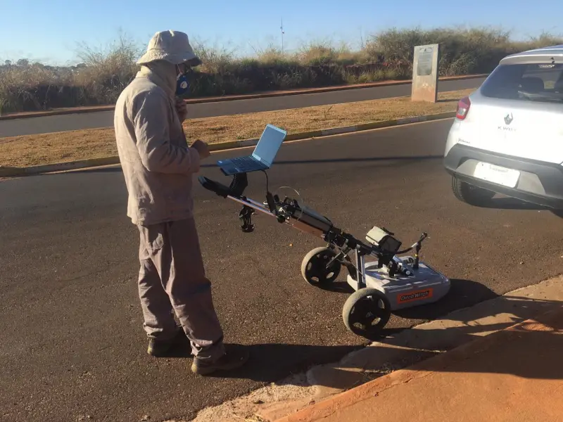
Engineering Projects with Georadar (GPR)
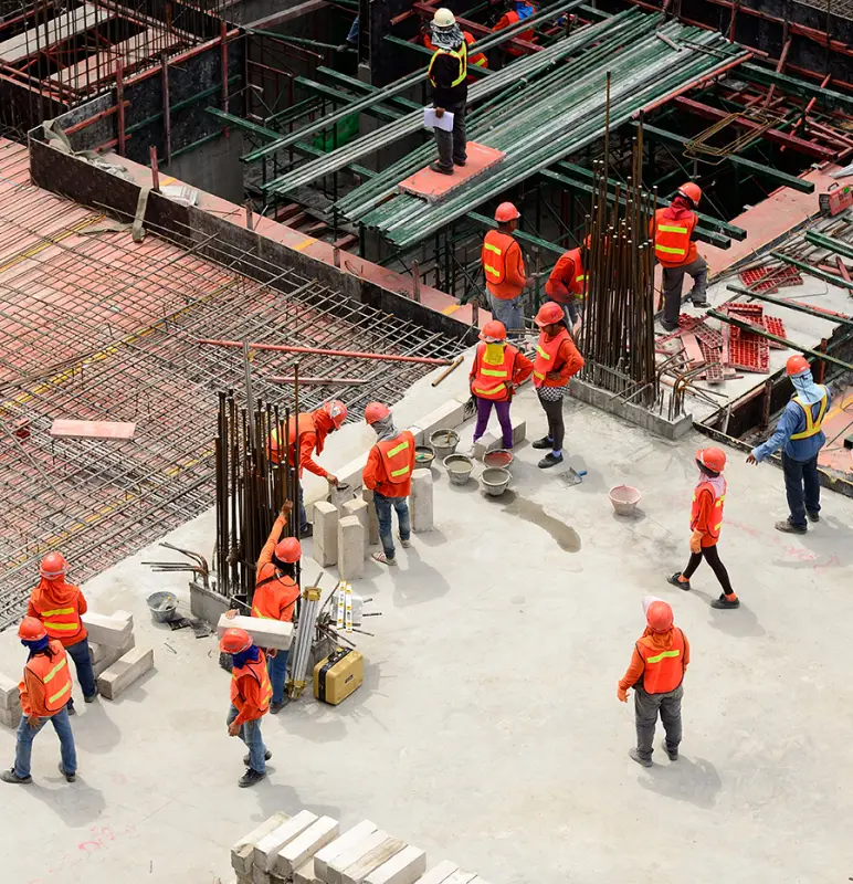
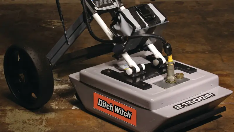
Engineering projects, rural field planning, archaeological research, among others, often need to use the GPR Method for subsurface research, in order to map:
- Metallic pipes, pipes, electrical cables, utilities in general;
- Plastic drums;
- Contaminants in the water table;
- Fossils;
- Buried objects;
- Fuel tanks;
- among others.
Electrical Resistivity
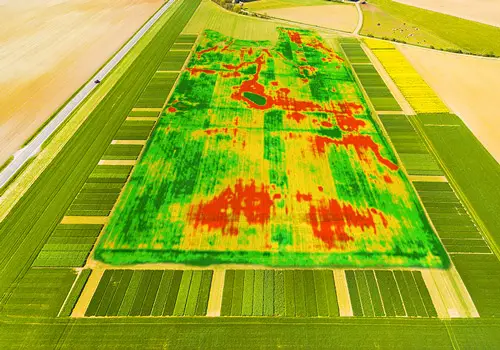
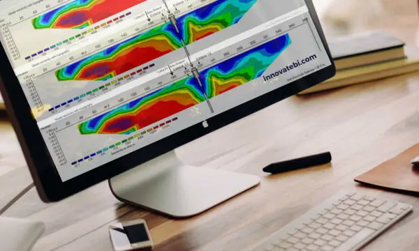
The geoelectric prospecting methods allow the stratigraphic reconstruction of the subsoil using physical-electrical parameters of the formations that constitute it, resulting in an electrical imaging of the subsurface, through the following techniques:
- 2D / 3D Multi-electrode Electrical Imaging;
- IP (Induced Polarization);
- SEV - Vertical Electrical Drilling;
- Resistivity mapping;
- Spontaneous potential.
Other geophysical methods
- MASW (Multichannel Analysis of Surface Waves);
- Gravimetry;
- Magnetometry;
- Electro-magnetometry;
- Seismic refractive tomography;
- Seismic reflection profile;
- Soil Thermal Measurement - Soil Thermal Resistivity;
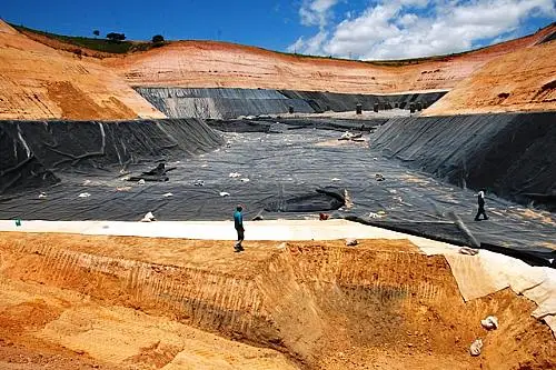
- HDPE blanket integrity certificate (for landfills);
- Others.
Metrics
2015
Year of start of activities in Brazil
200
Completed Projects
20
International experience in more than 20 countries
100
Satisfied partners
Clients
