Georadar (GPR)
Engineering projects, rural field planning, archaeological research, among others, often need to use the GPR Method for subsurface research, in order to map:
- Metallic pipes, pipes, electrical cables, utilities in general;
- Plastic drums;
- Contaminants in the water table;
- Fossils;
- Buried objects;
- Fuel tanks;
- among others.
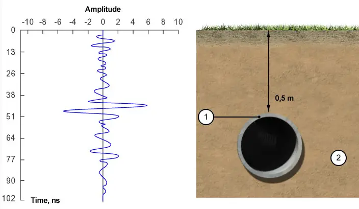
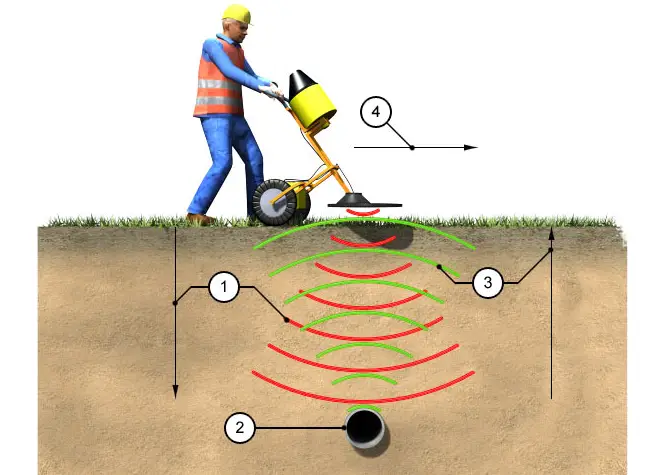
The GPR Method basically works according to the illustrations in the figures on the side. For example, if there is a metal tube in subsurface, it can be identified as described in Figure 2.
- an electromagnetic wave is emitted by the GPR transmitter;
- the wave travels through the medium until it is reflected by the material change (in the case of the figures, from the ground to the metallic barrel),;
- generation of the reflected wave, which is captured by the GPR receiver.;
- this investigative process continues in a linear sense as the operator moves the GPR equipment to the surface..

Source: UNITRACC.com

Source: UNITRACC.com
